Maps, Ships and Sea Monsters
by Laura Gittleman
Images in collage, watercolor, pencil and pen.

Islands, Enlarged 19 x 13 in 50 x 34 cm

Big and Little Islands 16 x 15 in 41 x 38 cm

California With Ships 12 x 18.5 in 31 x 47 cm

The Four Winds 20.5 x 15 in 52 x 38 cm

France on Her Own

Somewhere Out There 20 x 8.5 in 51 x 22 cm

Island with Lakes 19 x 13 in 48.5 x 33 cm

Sea Serpent After Olaus Magnus 9.5 x 14 in 24 x 35 cm

Military Map 13.5 x 9.5 in 34 x 25 cm

Michelin Map of London 15 x 18 in 37.5 x 32.5 cm

Regional Perspective Map 19 x 13 in 48 x 33 cm

Cold Antarctica Blue 14 x 18 in 35.5 x 46 cm

Mapa Polski 22.5 x 15 in 57 x 38.5 cm

Antarctica with Inset
Moon Ship 13 x 9 in 34 x 23 cm

Balena (after Olaus Magnus) 15 x 9 in 38 x 23 cm

Bullseye Map 13 x 9 in 34 x 23.5 cm

Collage of Ireland

Land of Lakes 13.5 x 9.5 in 34.5 x 24 cm
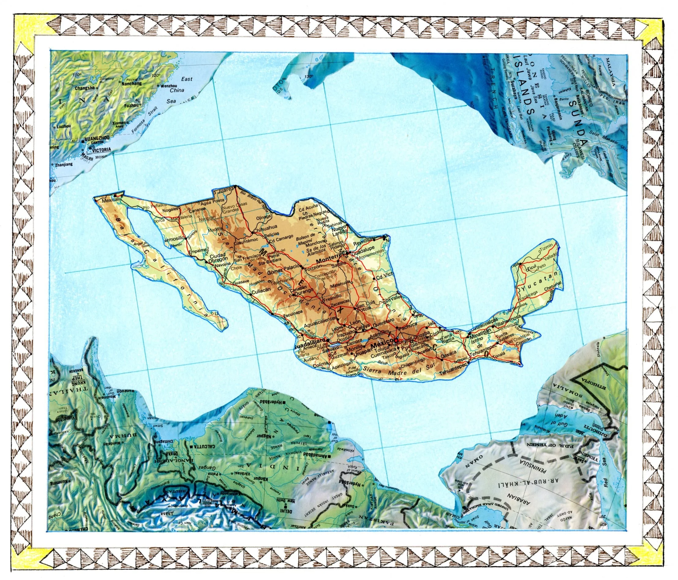
Mexico

Obvious Map

Old Israel

Tall Ship 13 x 7.5 in 32.5 x 19 cm

Harbor Tryptic Sketch

Watercolor Island Map 12.5 x 9 in 32 x 23 cm

Turkmenistan 13 x 8.5 in 32.5 x 22 cm

Two Brothers 18 x 13.5 in 45.5 x 30 cm

The Straits

Those Hills 19.25 x 8.75 in 48.5 x 22 cm

Industrial Age 19.25 x 8.75 in 48.5 x 22 cm

Bay Area 13 x 19 in 33 x 48 cm

Back Then 19.25 x 12.5 in 48.5 x 31.5 cm

Atlas of the World 13.75 x 10.5 in 34.5 x 26.5 cm
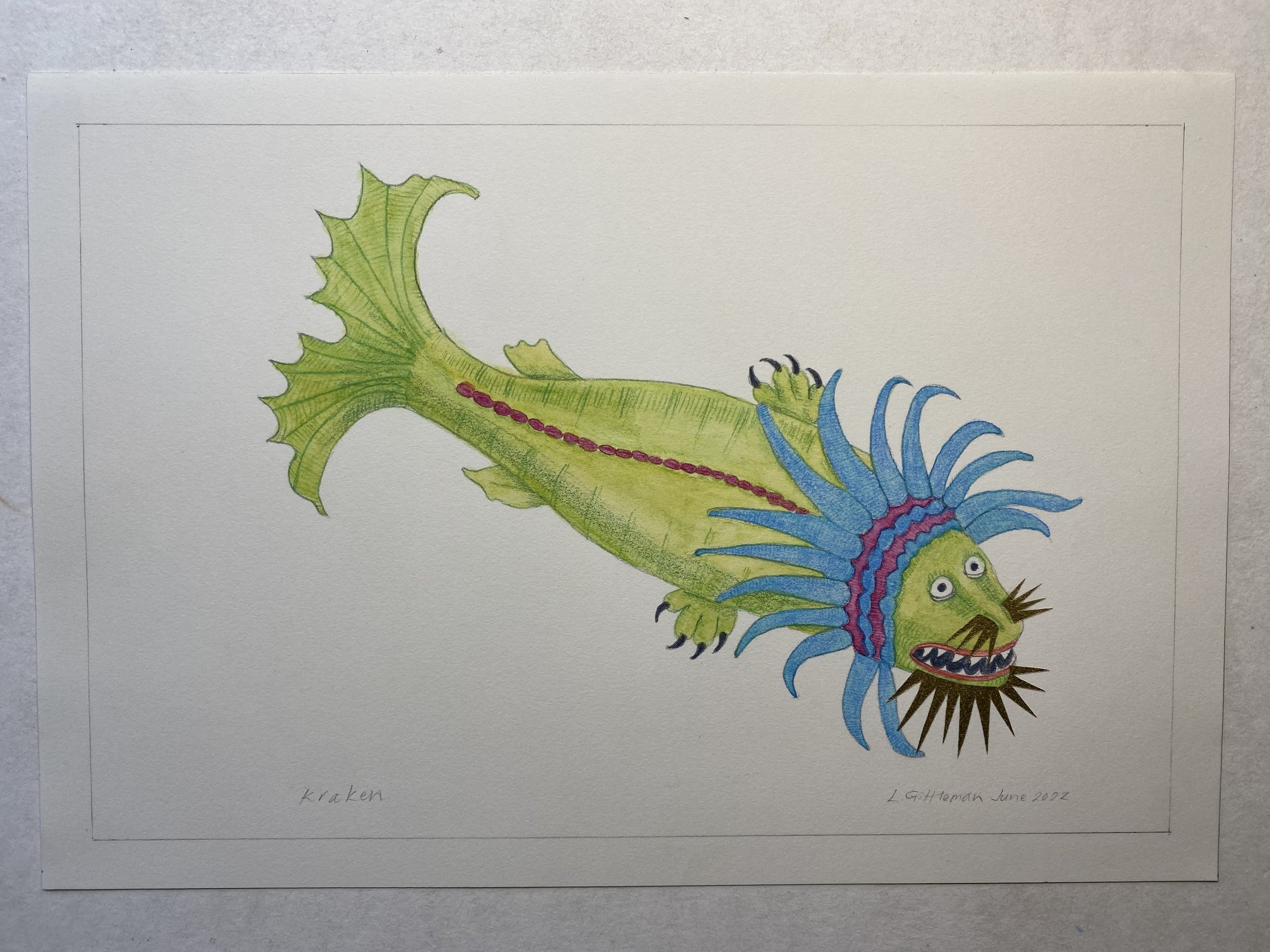
Kraken 12.75 x 8.25 in 32 x 21 cm

Sea Rhinocerus 12.5 x 8.5 in 31.5 x 21.5 cm

Sea Crab 11 x 6.75 in 28 x 17 cm

Sea Whale 11 x 7.25 in 28 x 18 cm

Sea Swine 13 x 9 in 33 x 23 cm
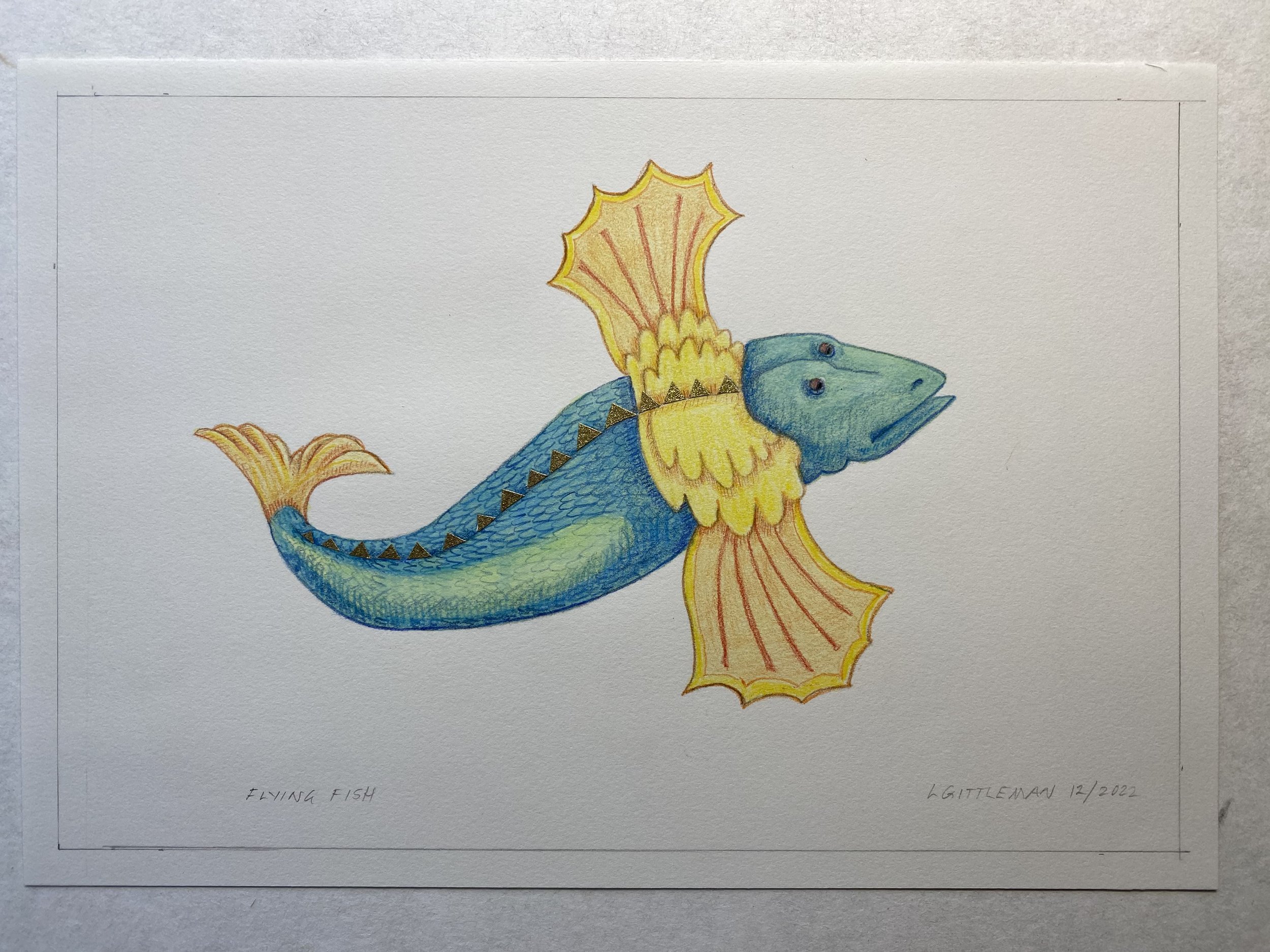
Flying Fish 11 x 7.25 in 28 x 18.5 cm

Rio Grande 11 x 7.25 in 28 x 18 cm

Corbita (Merchantman) 10.5 x 7 in 27 x 18 cm

Medieval Ship 10.25 x 7 in 26 x 18 cm
mapsshipsandseamonsters.com
Laurag@sonic.net
707-481-5430
I was introduced maps and navigation when I was a child, and so began my fascination with, and passion for, creating and altering maps.
Over the years I have been inspired by the maps that were published with the invention of the printing press. Most of those old map makers never left their villages in the lowlands of Northern Europe. They made their maps from the stories and sketches travelers brought back to them. Their maps were fanciful, sometimes fantastical. I try to repeat that in the maps I make – a sense of the unknown world not yet fully charted, with sea monsters lurking and ships suggesting some other time or place.
I like to create intricate, freeform borders of the lands and waters in my maps. Using collage, watercolor, pen and pencil, I look for a balance of shapes and lines that give the maps veracity as well as beauty. When we see maps displayed on a table or wall or in a book, we want to identify and to recognize the location. I want the viewer to imagine for a moment that the map could be a real place; and wonder quizzically "have I been there?"
I graduated from the California College of Arts in 1984. Not long after, I graduated from nursing school. Throughout my career as an Emergency/Critical Care/Flight Nurse I continued to create art. I have been focused on maps, ships, and sea monsters for the last 15 years or so. The time I spend in my studio fills me with happiness, and acts as a relaxing counterpoint to a busy nursing career.
My father taught me how to read and navigate by maps. He taught me to see the artistry of maps – how different map makers use unique styles, visual textures and color to convey specific information. The cartouches (insets) in my maps echo the symbol guides, distance equivalents, and navigational information that help us interpret the shapes and lines of a map. If you look closely, you will discover the inaccurate whimsy of my art.